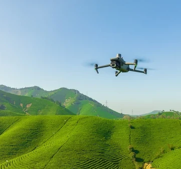
Environmental mapping and surveying services
We deliver the most comprehensive package for air environment mapping and surveying services currently offered in the Nordics.
Environmental Survey and Mapping Services with Drones
We offer the most comprehensive package of environmental survey and mapping services currently available in the Nordics. We partner with our clients to ensure our environmental mapping services are optimized for their needs.
UAVs (drones) provide a safer, faster, and more cost-effective way to map and monitor large areas for environmental protection, management, and surveys, particularly where vehicle and personnel access is difficult, dangerous, or harmful.
Processing complex data outputs, including 3D models, multiflight maps, and multispectral indices, can vary in quality. And how software services and cloud subscriptions work varies from company to company. Depending on the size of your organization, management of the fleet, project documentation, notes, file sharing, and countless other needs may arise. Some software may suit your needs better than others. And in some cases, a combination of software might be needed to achieve your goals with mapping drone data.
- Our range of environmental survey and monitoring services includes: Monitoring changes over time – regular coverage of a specific area to assess, on a broad or detailed level, the changes occurring in the environment over time – such as assessing coastal erosion and sand loss, or altered flows of a river or stream after floods.
- River and flood assessment – detailed mapping of shores and estuaries in a river system to identify the morphology of the riverbed or the spread of weeds from rivers to surrounding farmlands.
- Coastal management monitoring – assessing coastal erosion and sand loss, monitoring developing coastal landscapes, calculating sand loss/growth/displacement volume, or monitoring beach pollution and runoff contamination.
- Terrain and hydrology modeling – gathering precision data about the topology of an area to accurately determine key geological features, elevation contours, erosion profiles, and how water infiltrates, flows, and accumulates in the terrain.
- Using multispectral sensing to quickly and accurately capture the data needed to assess the health and vitality of plants and vegetation along river and stream banks.
- Animal and habitat management – rapid, accurate, and non-invasive mapping and assessment of natural habitat areas to identify indigenous and wild animals, map animal trails and nesting sites, and count animal populations without disturbance.
- Enhancing construction and infrastructure maintenance through rapid, high-precision data capture
- Managing massive vegetation areas via large-area, high-precision multispectral data capture
- Ecosystem monitoring via aerial photographs of habitats and species
- Optimizing workflows for mining and reclamation through highly accurate volumes and detailed site updates
- Clarifying land development and taxation via rapid coverage of large areas at survey grade
- Revolutionizing safety standards via distance from active site and regular, precise updates
- Establishing a digital world via precise, up-to-date aerial insights
